When it comes to Hurricanes, people always put too much emphasis on the Saffir-Simpson scale (category 1-5). While the media and forecasters get ratings every time the National Hurricane Center upgrades a named storm to the next category, it doesn’t always paint an accurate picture of the potential damage a system can bring when it makes landfall.
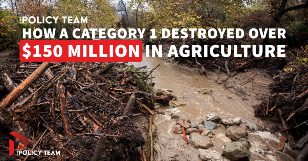
When Hurricane Fiona approached the less populated southern coast of Puerto Rico as a category 1, it likely caused many onlookers to downplay the danger this storm posed. What matters almost as much as intensity are the topography of the landfall strike zone, and also the angle at which the eye finally passes over land. While only a category 1, Fiona skirted the southern coast of the island and slammed right into the mountain chain that runs east-west in the center of Puerto Rico. This caused a water sheeting effect that was akin to blasting a fire hose at a brick wall. Then gravity did its thing, sending millions of gallons of water down the mountainside overflowing rivers, and flooding many towns below. Mudslides took out bridges, roads, homes, and other structures in their path. Hundreds of thousands of people were left without electricity, water, and food for weeks because the affected areas were blocked off from emergency response vehicles until routes could be reopened.
Now that assessments are underway, it is estimated that Fiona destroyed over $150M in crops and agriculture in Puerto Rico. That, in addition to what will likely be hundreds of millions in infrastructure and property damage. And this was all caused by a Category 1 hurricane.


